Baltic Sea 2022
Day 7: Wednesday 01 June 2022
Flåm – Lillehammer
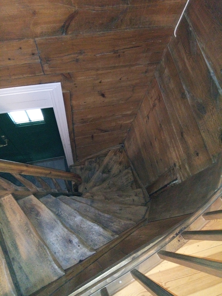
Wooden staircase in our hostel in Flåm. The village´s name derives from the Old Norse word flá meaning “plain, flat piece of land”. The flood plains of the Flåm River account for this flat stretch of land amongst the mountains all around.
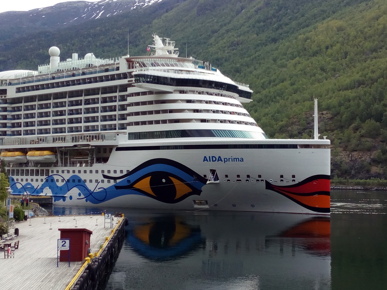
As we prepare to sail in Flåm, a very large cruise ship arrives and docks. We will see this ship enter Trondheim harbour when we arrive two days later. About 160 of these enormous tourist landing craft squeeze into the tiny harbour each year. The local authorities complain about the pollution, dumping of grey water into the fjord, and the local amenities being overwhelmed.
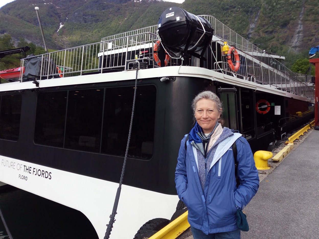
All electric ferry “Future of the Fjords”
9.30 ferry around the fjords, to arrive 11.30 at Gudvangen. Sensational does no justice to the off-scale beauty of the plummeting mountainsides and vast fjord panoramas. There are quite a few tourists with us, but nowhere near maximum capacity, which I am sure will be reached in a few more weeks. The ferry is a new-fangled electric ferry, which I had read about in the New Scientist. Its silent motor and no pollution is in stark contrast to the ugly emissions from the fossil-age diesel boats.
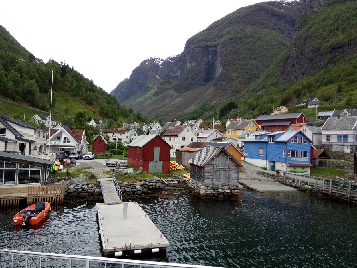
Aurlandsvangen, Aurlandsfjord
The Aurlandsfjord is 29 km long, and is deep and narrow: 962m at most and its width is less then 2km. There are villages along the route, and the mountains rise to 1800m on either side.
We pass north through the entire length of the Aurlandsfjord into the Sognefjord, the largest fjord in Norway, an inlet from the North Sea, then cut to the south into the narrowest fjord in Norway, the Naeröyfjord, which narrows dramatically as it approaches Gudvangen.
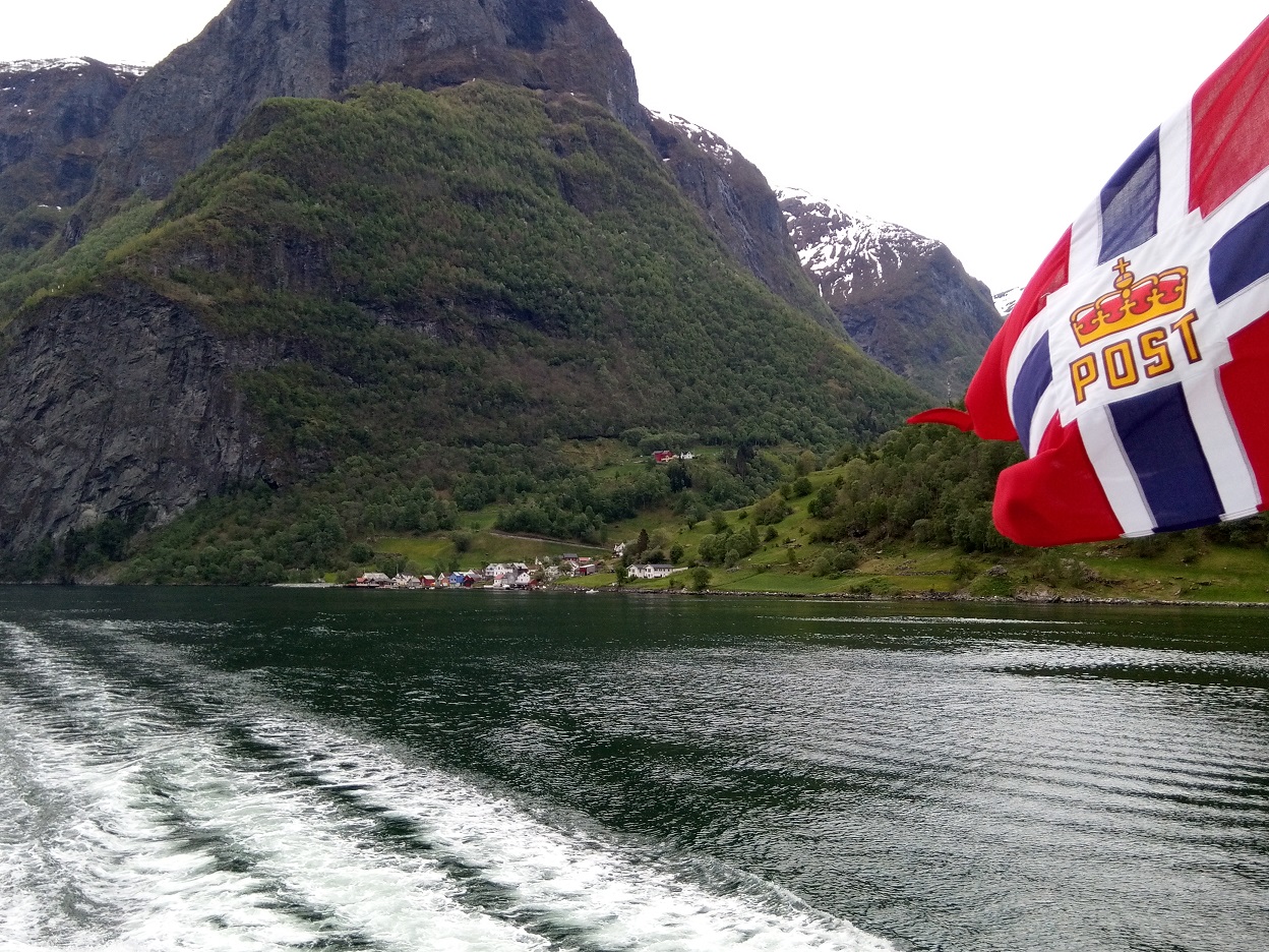
The ferry is also the postal service. Sognefjord is the largest and deepest fjord in Norway. It reaches 205 kilometers inland, and its name derives from the Norse verb súg, to suck, referring to the suction of tidal currents at its mouth. Its deepest part is 1,308m, and is more than 1000m deep for 100km of its length. Its greatest width is 6km, while its average width is less than 5km. Cliffs rise up to 1600m from the fjord. The fjord ends at a mountain range, up to 2400m, covered by continental Europe’s largest glacier, the Jostedalsbreen
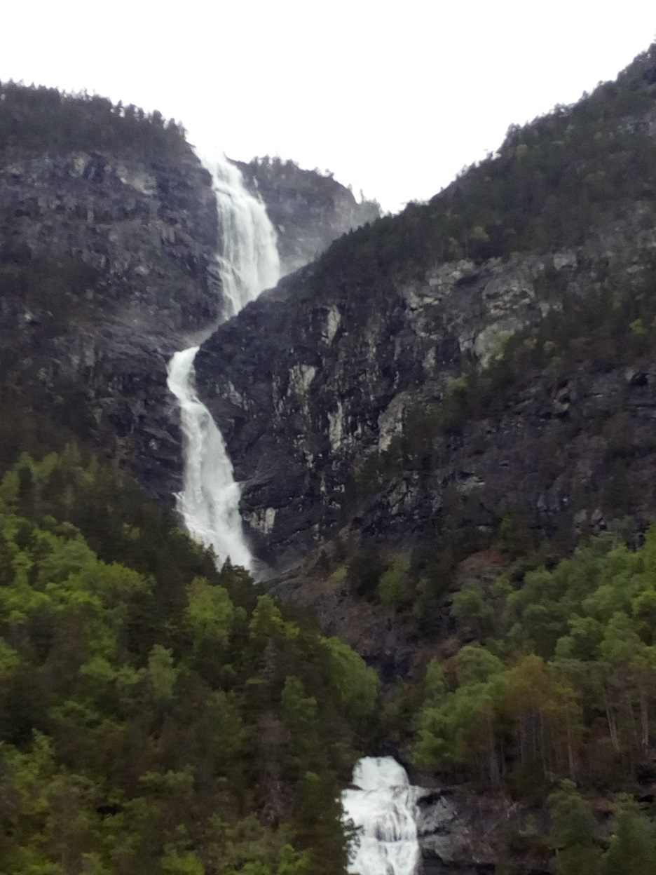
One of the many waterfalls in Aurlandsfjord. The Nærøyfjord is listed as a UNESCO World Heritage Site, and is rated by the National Geographic Society as the world’s number one natural heritage site, along with the Geirangerfjord, further north. We see the white wooden Bakka Church in the village of the same name, which could be emblematic of Norway’s wooden and tasteful rural architecture. This fjord is 18km long and only 500m wide in parts.
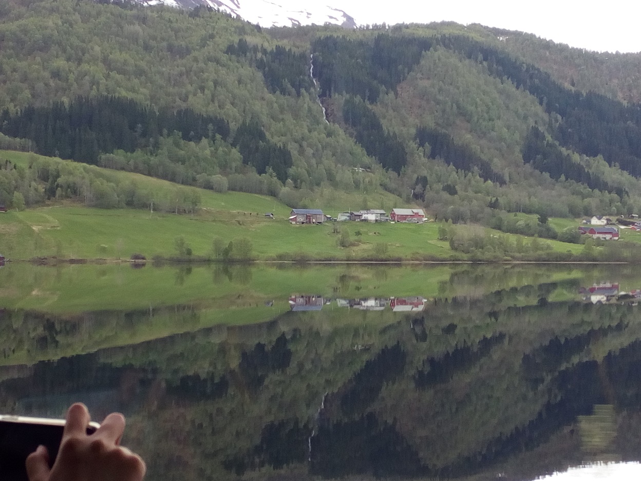
From Gudvangen we bus it to Voss, passing alongside one lake that set a new standard for shiny mirrors, reflecting perfectly the hamleted green hillside on the far side.
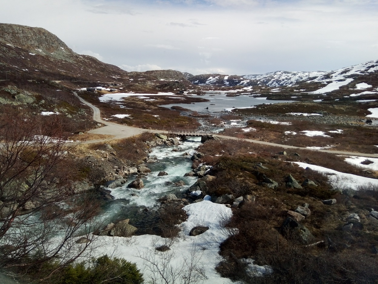
Between Voss and Myrdal, a lake thawing as summer approaches
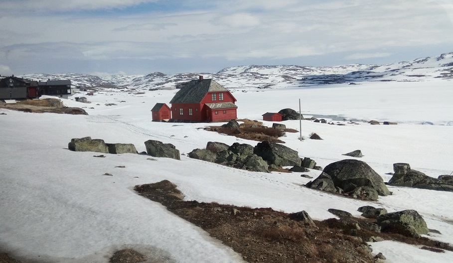
The landscape is still frozen and snowy, even in June. Between Voss and Myrdal
Travel Diary
From Voss we ride the now familiar one hour up to Myrdal for the third time, to change for Oslo, arriving about 20.00, only to find the connection to Lillehammer has been cancelled. We collect our suitcases from the locker and find out that a power failure on one stretch meant we needed to reach another town near Oslo to catch the train to Lillehammer, arriving at 1 a.m. We find the key as the hotel had promised in their letterbox at the old station, and all is well.