Baltic Sea 2022
Day 10: Saturday 04 June 2022
Bodø – Lofoten – Narvik
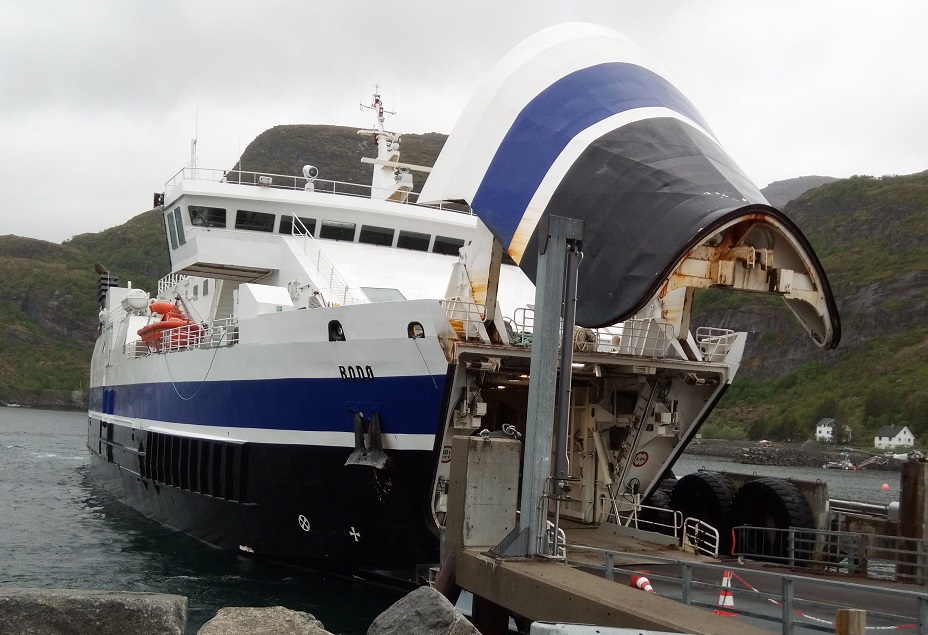
Bodø is the end of the Nordland Line, meaning we will need to proceed by ferry to the Lofoten Archipelago, and then bus it to Narvik, where the train goes only into Sweden.
The car and passenger ferry to Moskenes is free of charge, and lightly occupied. The view is foreshortened by fog and rain, and the journey 3 hours, during which we coffee, postcard, and sleep. At the terminal when we disembark, there is a long queue of vehicles, mostly caravans and motorhomes, waiting to return. The Lofoten Islands form a craggy, oddly-shaped archipelago, reaching out like a drumming forefinger from Narvik. There is a pleasant white timber church overlooking the proceedings, as we huddle in the unwelcoming bus shelter.
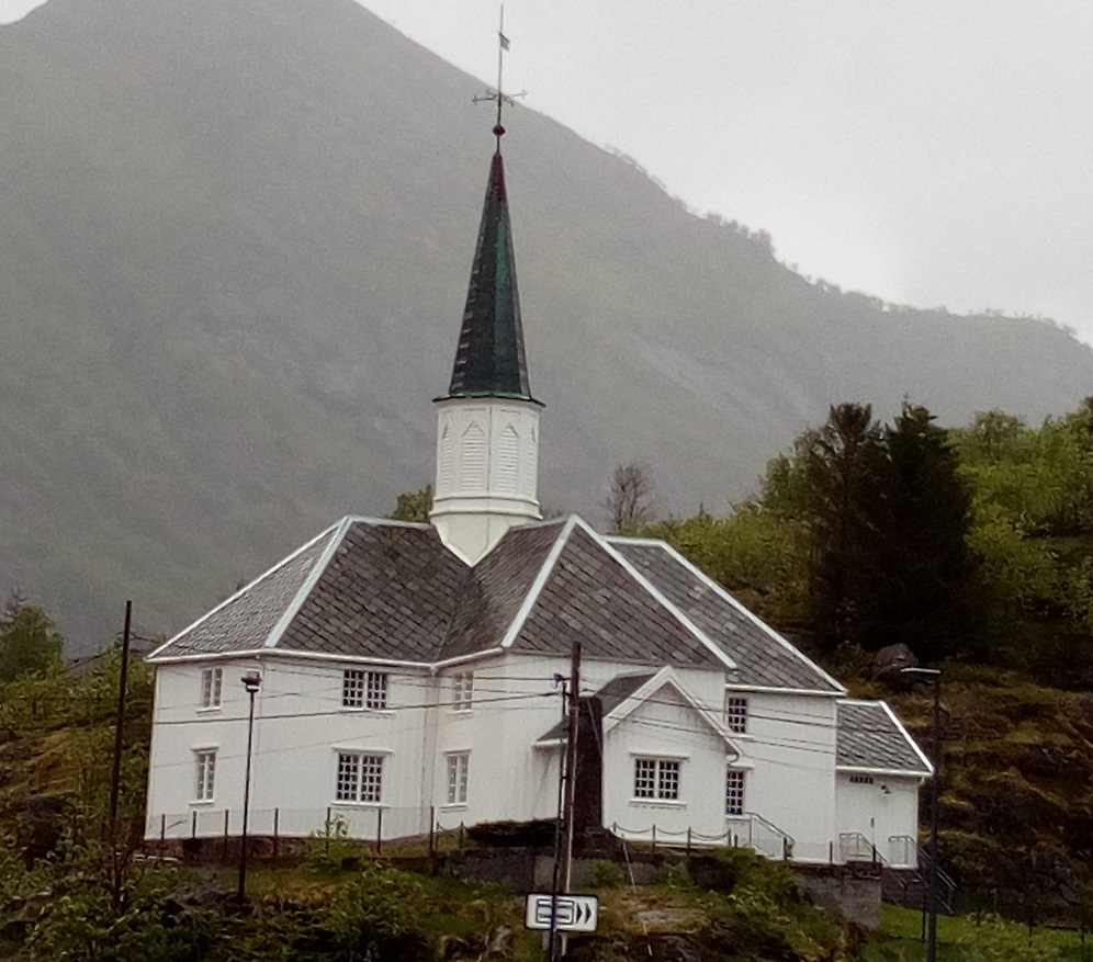
Moskenes Church, Lofoten
Built 1819 in a cruciform style. There has been a church at this site since at least the 16th century. MAP (Google). The Vikings had a permanent settlement here as well, attesting to the importance of the cod fishing grounds. Due to the Gulf Stream, the archipelago of Lofoten experiences one of the world’s largest elevated temperature anomalies relative to its high latitude.
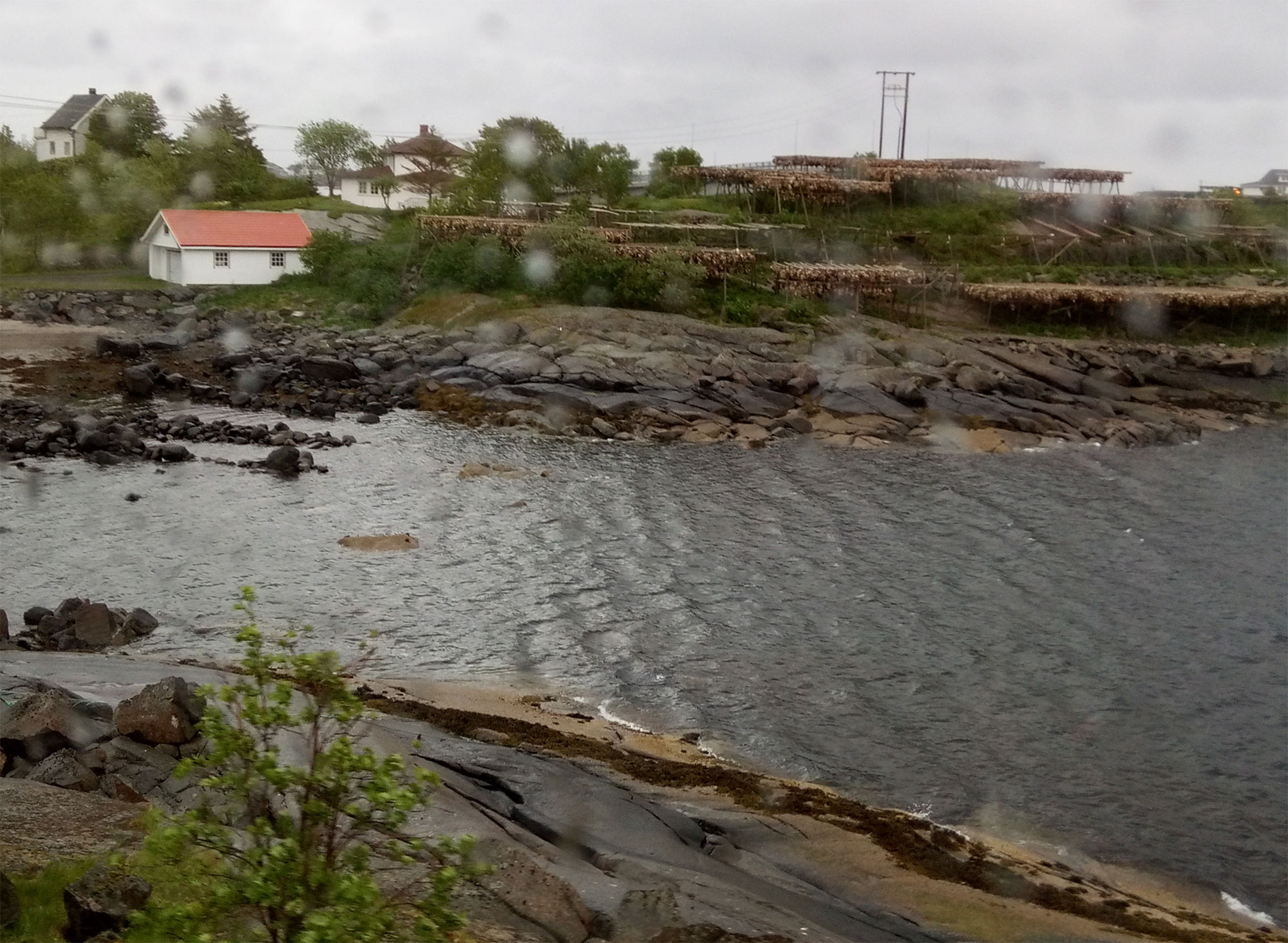
Cod drying on Soloy Island, Lofoten
We take three buses to Narvik on a 7-hour journey around bays and over bridges, with views of algae-cornered bays and lonely homesteads, possibly summer homes. Quaint fishing villages display their trade in racks of drying cod. The islands have been the centre of the cod fisheries for over a thousand years, since they migrate in winter from the Barents Sea to gather in Lofoten to spawn. The Hanseatic League monopolised the export of cod to the rest of Europe through Bergen. Interestingly, the term maelstrom derives from the Moskstraumen (Malstrøm) system of tidal eddies in western Lofoten, between Moskenes and Lofoten Point, to its west.
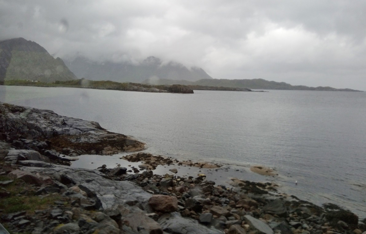
Scenery from bus in the rain between Lofoten and Narvik.
The Lofoten archipelago experiences one of the world’s largest elevated temperature anomalies relative to its latitude, due to its projection into the Gulf Stream. The name Lofoten derives from the Norse word for lynx (ló) and foot (fótr), since the main island has the shape of lynx’s foot. A neighbouring island’s original name means wolf’s foot (Vargfót). Iron Age and Viking settlements have been discovered, and the largest known longhouse, 83m, has been reconstructed in the Lofotr Viking Museum, on Lofoten.
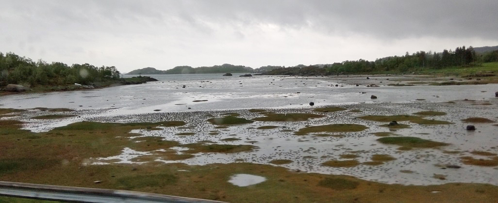
Lofoten is a horst ridge of bedrock, part of the Transscandinavian Igneous Belt. A horst ridge is formed by alternating raised fault blocks and grabens. While the horst lifts, the graben subsides, under pressure from crustal separation forces. Although there are an estimated 1.3 bn barrels of oil reserves under the sea around Lofoten, their exploitation is banned to preserve the natural reserve, which includes an IBA (Important Bird Area), mainland Europe’s largest seabird colony, which have overwintering populations of common eiders and yellow-billed loons. There are also sea eagles, puffins and cormorants.
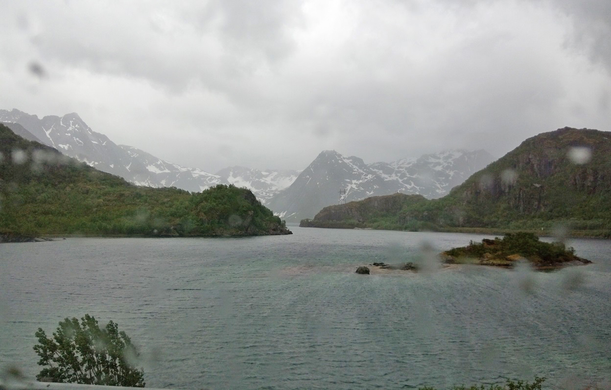
View from Lofoton to the Ofotfjord, along which lies Narvik on the mainland, and its strategically important harbour
The islands were raided by British commandos in March 1941, to destroy fish oil and glycerine facilities used by the Germans. There was also a diversionary raid in December 1941.
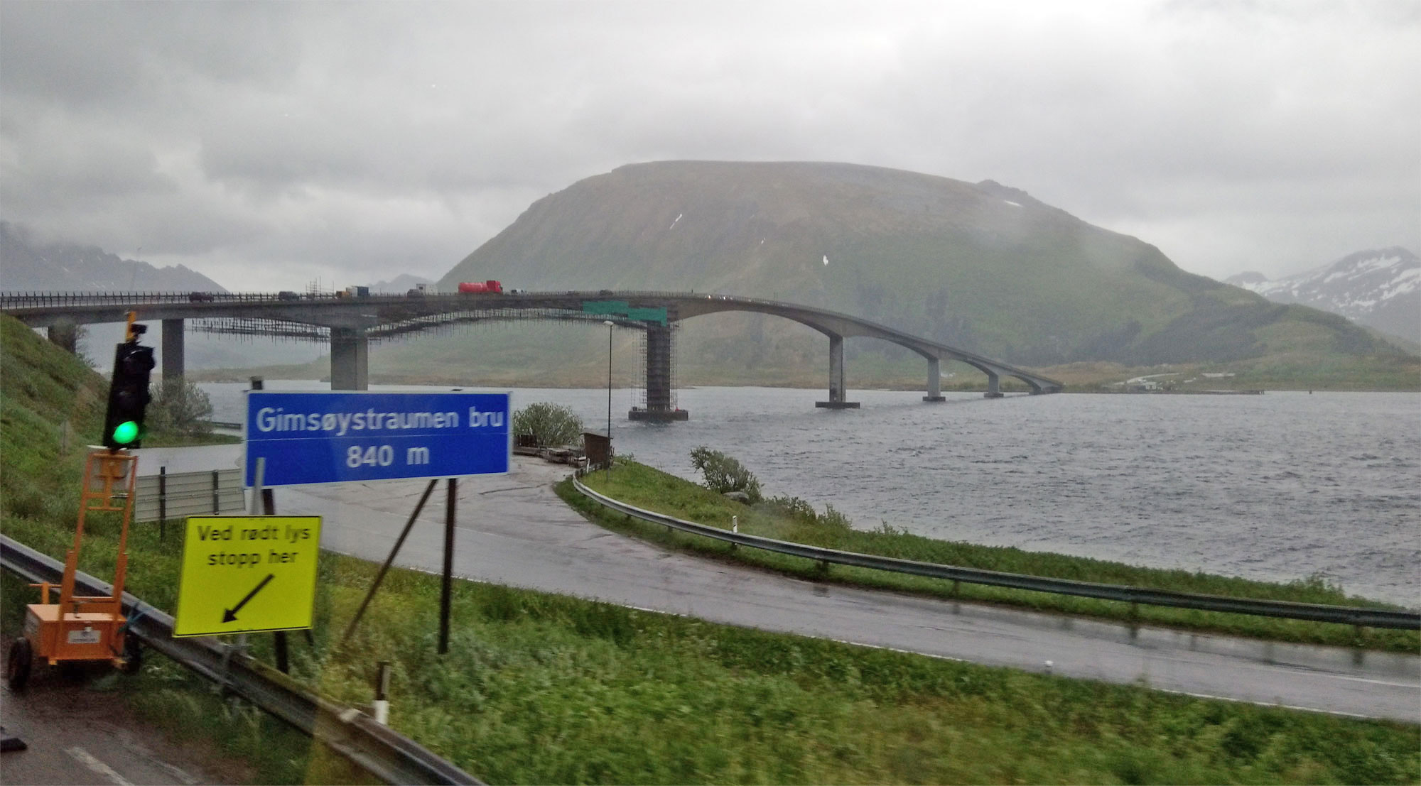
The Gimsøystraumen Bridge between the islands of Austvågøya and Gimsøya, opened in 1980.
The weather was not kind to us, but the scenery was nevertheless stunning. Jules Berne’s saga Twenty Thousand Leagues Under the Sea climaxes with the Nautilus ship sinking into the Maelstrom, strong eddies of water for which Lofoten is notorious, and two main characters washing up on the shores of Lofoten.
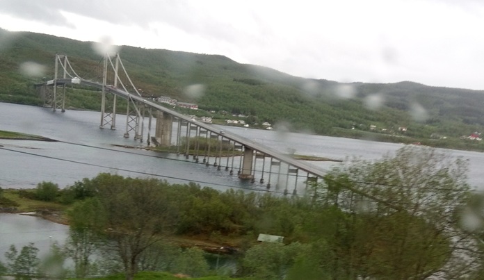
Hålogaland Bridge (Norwegian: Hålogalandsbrua), a suspension bridge which crosses the Rombaksfjorden on the road to Narvik. The bridge was built between 2013-18, and cost 2.2 billion NOK (200 million Euro). It is 1,533m long, making it the second longest suspension bridge in Norway, and the longest within the Arctic Circle at the time of completion.
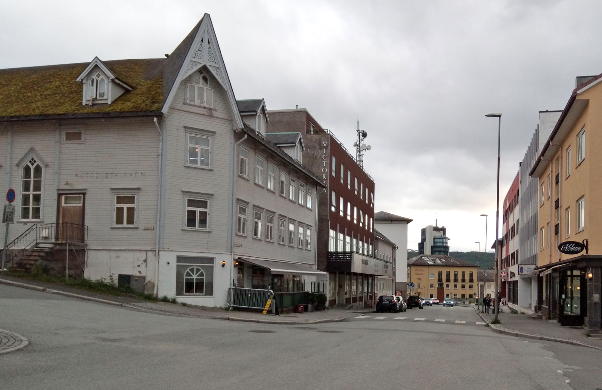
Narvik town street. The buildings were not decorative, but resilient. The population is 14,051, including 1200 students attending the Narvik campus of the University of Tromsø. It is the only rail-to-ship hub for the rail line coming from Kiruna, Europe´s largest iron and other minerals mine in neighbouring Sweden. This made Narvik a strategic target during WW2 for the allies, seeking to prevent German obtaining Swedish iron.
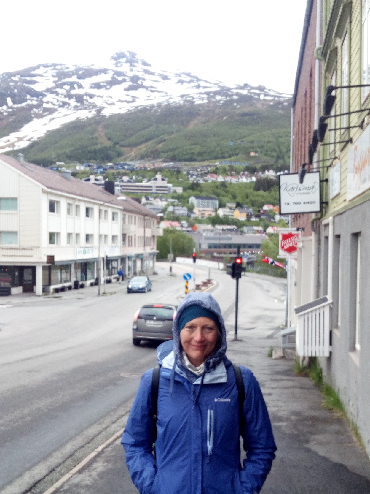
Narvik summer
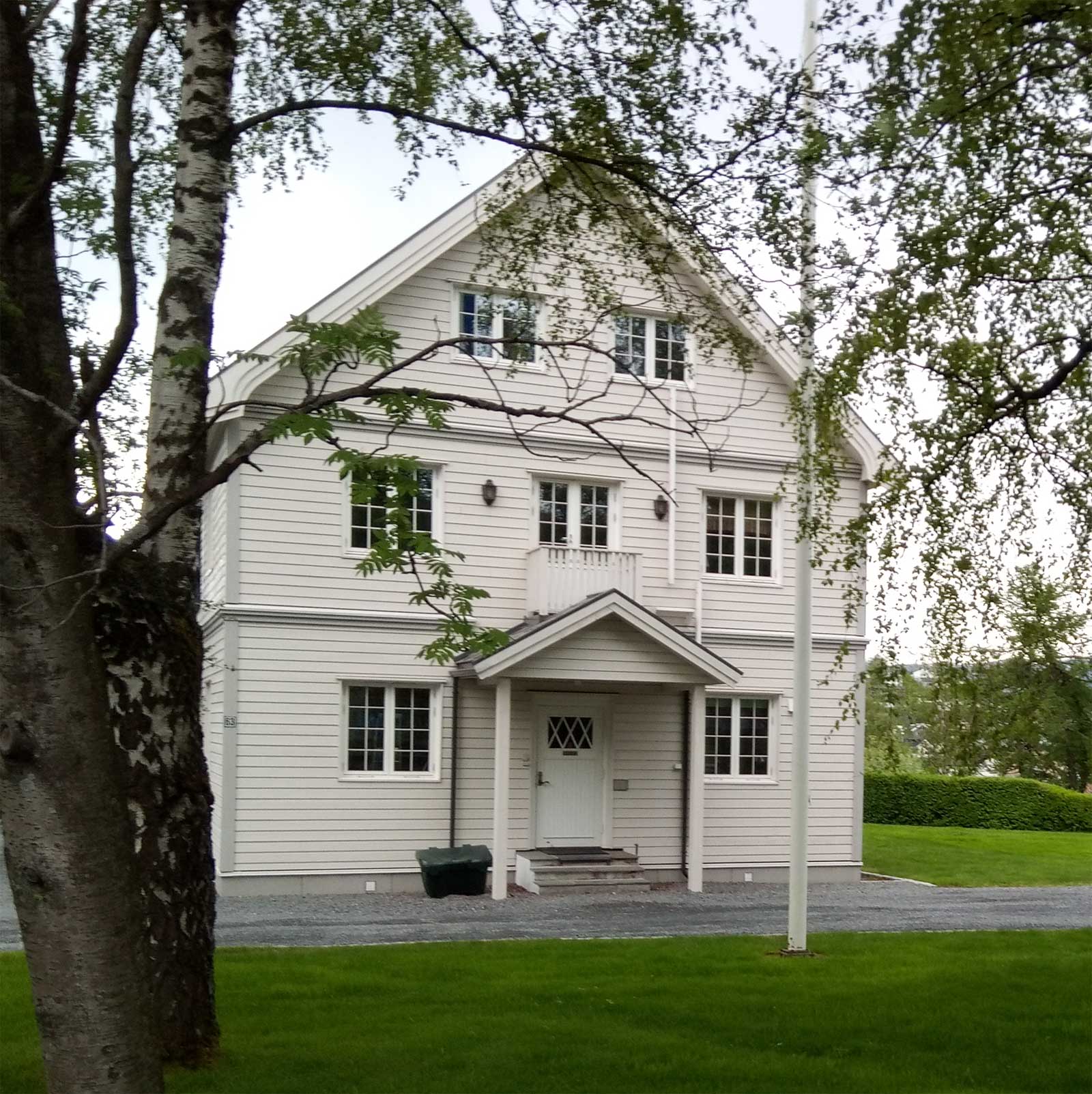
This is a typical style of the town houses in Norway. I was curious how well such wooden dwellings would protect against the extreme cold.
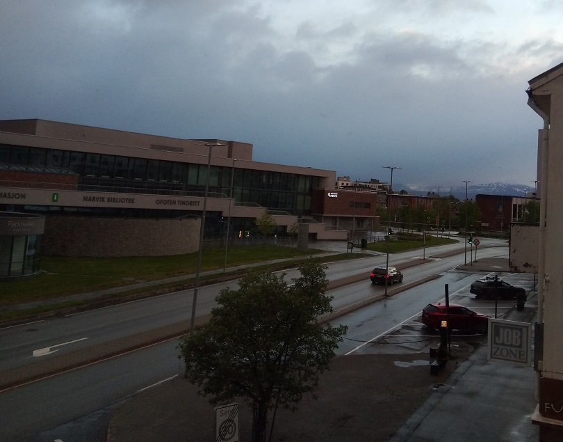
View from our Narvik hotel window 2 a.m.
Travel Diary
The Interrail convinces the first two bus drivers, but we have to pay Fr. 50 to the third. Mountains backdrop every direction (the highest is 1,161m), sugar-coated with stubborn snow testimonies to less inviting seasons. Bridges link the islands, and the road takes us around inlets, with sandy beaches at times. Today the area hosts many tourist facilities, such as caravan parks, as the islands attract a million visitors a year. An impressive suspension bridge heralds the arrival on the mainland and Narvik harbour.
Narvik bus terminal, like so much of the transport facilities throughout our journey, is bereft of information or staff. We have to haul our cases up a long staircase and over a bridge to reach the town’s busy main street. The hotel is across this road from the Krigsmuseen, and we decide to visit that on the following day. It takes half an hour to stroll around the two parallel streets that make up the fairly shabby town, which offers little architectural interest. We eat in a Turkish takeaway, as it was late and nothing else was open or inviting.